Showing posts with label urbanity. Show all posts

7.2.11


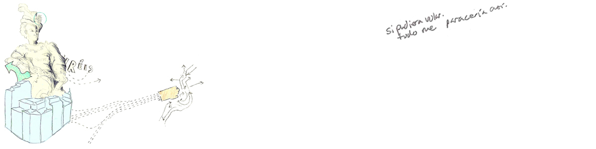
From the [newly inaugurated sketchbook!] devoted solely to urbanism-- trajectories, transit.
All drawings will be in a slightly larger format. Remembering and imagining places and how their infrastructures serve them gracefully.

2.2.11

architectural fantasies_january

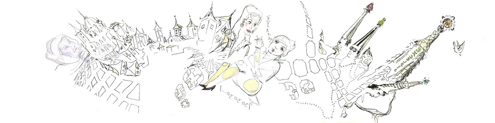
While architecture subtly pervades my drawings in various degrees, sometimes it is outright. 
This month saw stacking and digging.


As with previous posts, the stacking of middle to upper class homes on top of urban structures. 
I can't fully explain it yet, but it's becoming an obsession hard to avoid. 


Voy a subir unos dibujos ilustrando dichas casonas encima de un centro comercial.

29.1.11

monstruos del eixample

In Barcelona's relatively consistent 7-10 story grid, there stand out monsters (as friends and i have since dubbed them). They are those structures that defy the unofficial height code, looming over corners and plazas. From surrounding hills or rooftops, the monsters help orient the urban viewer, points of reference in a grid that can be daunting.


 This particular one, la torre urquinaona, ingeniously in plaza urquinaona, is particularly ferocious and violent. It's beveled and jutting spines with dark windows hide the clerks and office men inside. In this pic, an employee is angry about being the only one left in the monster after closing time.


2.12.10

paducah_1

 
-paducah, KY, isolated in the western tip of the state. my father relocated here years ago, the area where great rivers converge 
(the ohio, mississippi, tennessee). the center was architecturally charged, lazy, and cozy. 
-another illustration showing differences in church-dispersal in the US and spain.

28.11.10

tampa


a very tampa thanksgiving. map done on I-4 leaving Ybor City, Tampa's port-industrial-turned-hip district.

10.11.10

jax_orl

now that i have a cell phone, i've been testing its limitations. although basic, it rocks the PAINT application. being a passenger through florida cities, i have a chance to create cognitive maps quickly of where i am. a friend and i recently spoke of (hypothetically?) completing an architectural project using only PAINT


5.11.10


current obsessive graphic.
it makes so much sense!

9.6.10

ensanche_eixample


some research on how spanish cities typically expand led me to these 
interesting maps of mad & bcn during their respective expansion periods. 

18.1.10

quite a dusty evolution

 Chronicling the expansion/explosion during a relatively short time (1940-now),
an exhibit at the Waqif Art Center gave me a new understanding of the city and
it's formation. It starts  from 0, or a small network of timber/sand structures, and ends with 80 story towers. There appears to be no middle-ground. The coastline is almost entirely dredged and manmade, curving to facilitate a "picturesque" corniche. hmm, not as much care given to infrastructure :(


I think the city is still searching for its identity and a way to cope with its rapid expansion.